A few months ago the River Severn was in flood again. Water, water everywhere and not a drop to drink, so to speak. Now, in the summer 2024, after a period of cool but mostly dry weather, it’s gone to the other extreme and at Gloucester is so low that some of the foundations of a long-gone mediaeval bridge have surfaced again. (Not for the first time, I must point out.) My attention was drawn to this by a comment on the Gloucester, A Trip Back in Time Facebook group, to which I belong. There were some fascinating photographs from David Jones, to whom I am grateful for permission to use here.
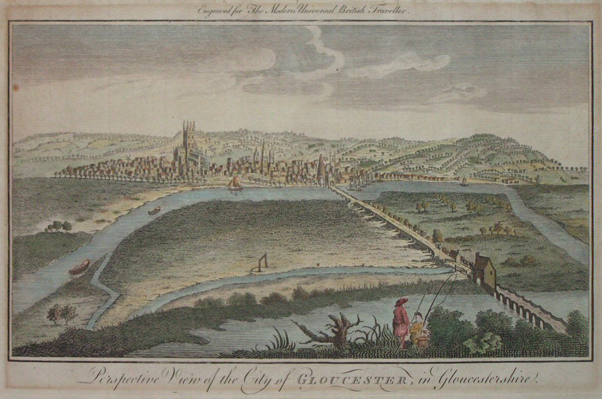
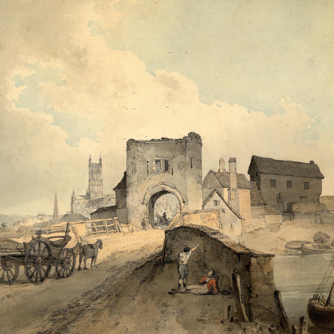
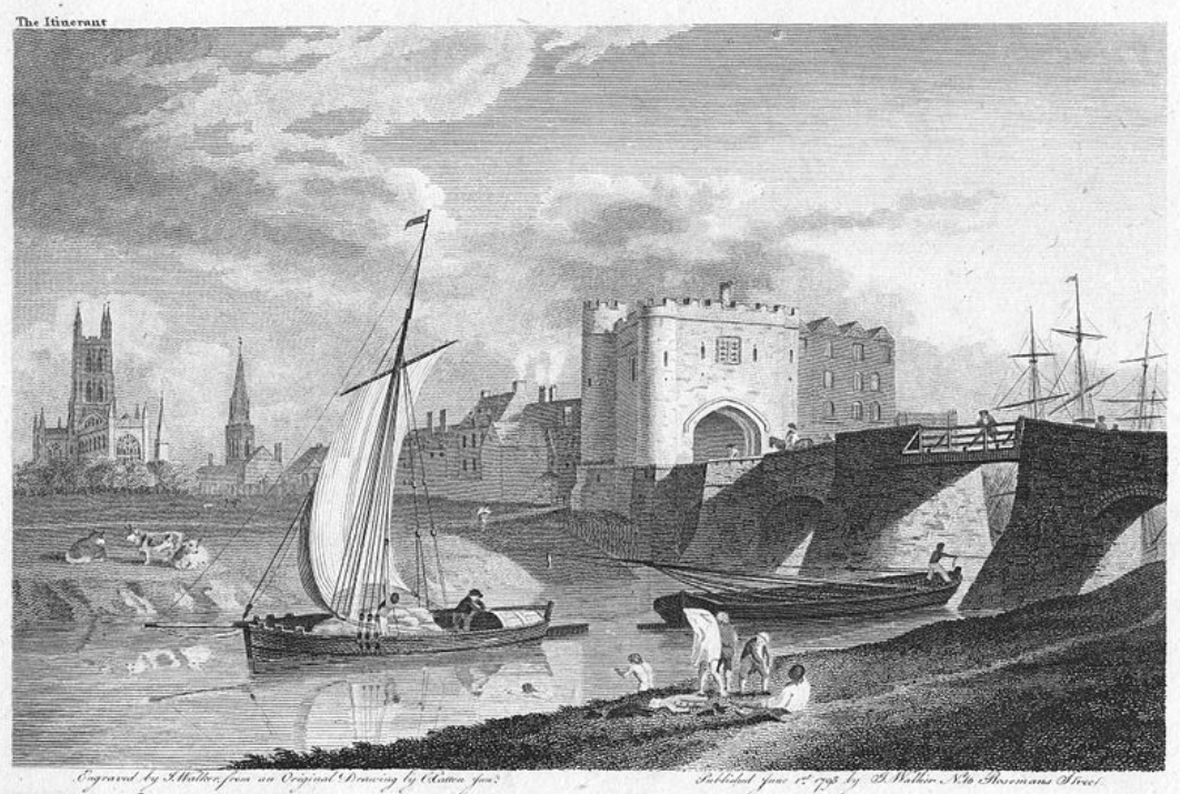
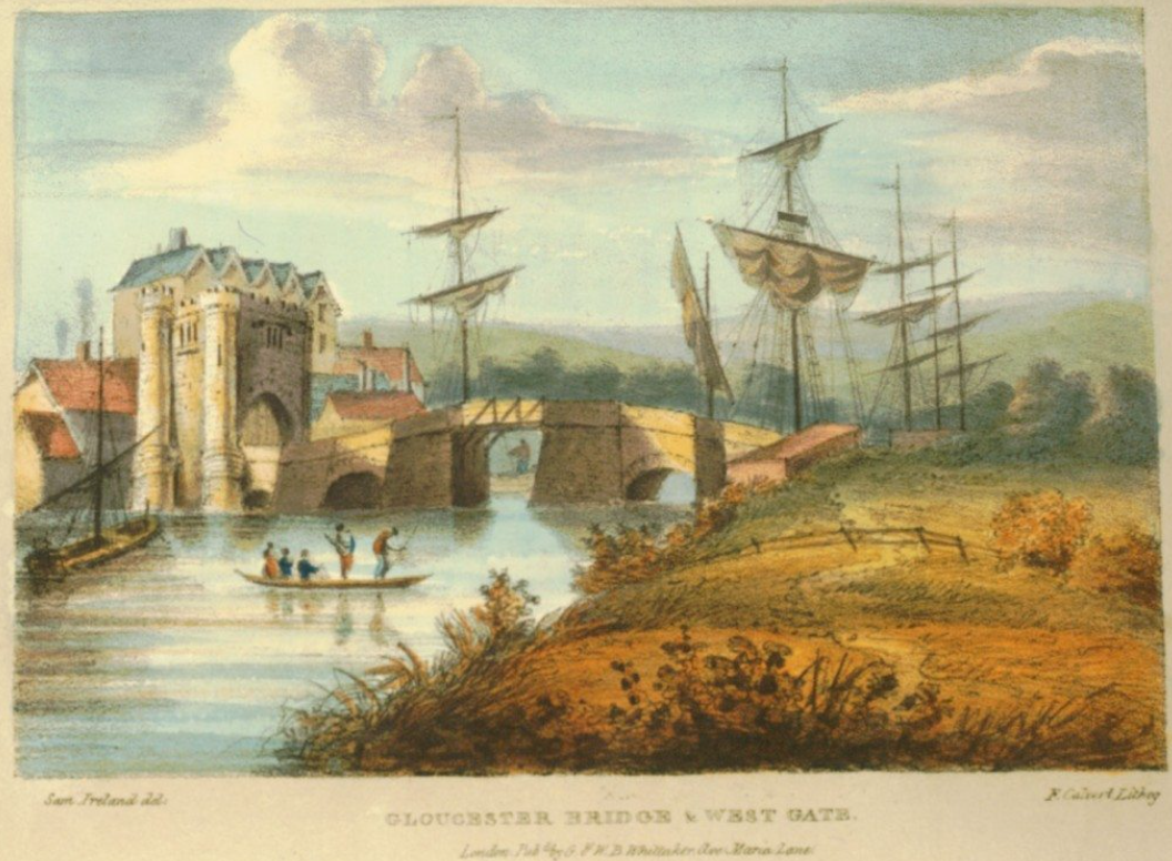
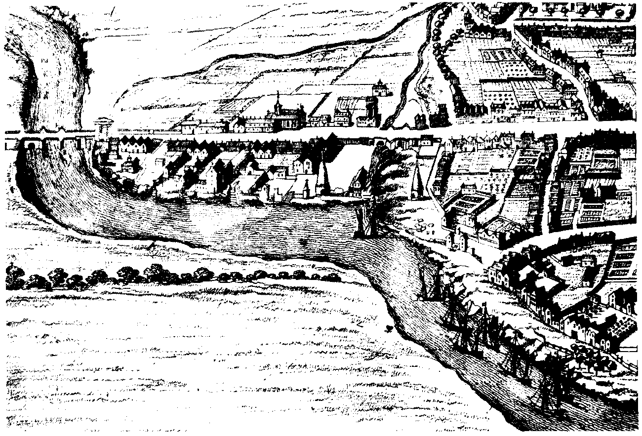
But first to the top illustration of this article. As I’ve indicated in the caption, the bridge in the bottom right corner is the one which has come to light again because the Severn is low. The two historic images directly below this paragraph are of the old causeway approach from the Welsh side to the city’s west gate.
Just upstream of Gloucester the river forks into an east and west channel, which come together again south of the city. In doing this it forms the very low-lying island of Alney.
There was another channel which reached into the city, but it is of no consequence to this article and has now been closed and built over anyway.
The east channel is beside the city and is where most shipping (often the famous Severn trow but also other sea-going vessels) came alongside at the quay. I should mention that this is in the days before the Gloucester-Sharpness Canal and Gloucester Docks basin. Until the canal was completed in 1827 there was only the river with all its tidal dangers. See https://canalrivertrust.org.uk/canals-and-rivers/gloucester-and-sharpness-canal
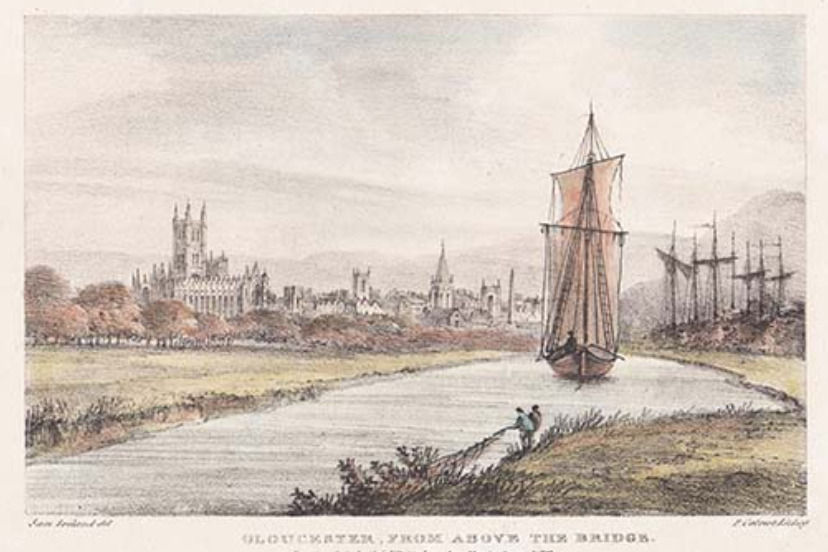
The west channel of the Severn is on the Welsh side of Alney Island, and the road to it was conveyed on a causeway to be safe from floods. At the appropriately named hamlet of Over, the road spanned the channel via the newly exposed bridge. A causeway still carries the modern road from Gloucester, across the island to the Welsh side.
Gloucester has been a port since Roman times, being at the first fordable point of a very dangerous but navigable river. The Romans wouldn’t have known a channel at Over at all, because it wasn’t forged by the river until the mediaeval period. One hardly dares to imagine what happened to create a whole new channel of such a river.
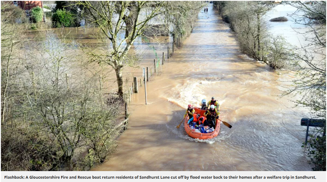
To gain an impression of what the floods can be like at Gloucester (and Over) take a look at this video https://www.youtube.com/watch?v=0YgLWD5LK-o. That is a lot of water! Below you can see what it can be like in the nearby village of Sandhurst. And bear in mind that this photograph was taken when the floods were receding and it was safe to take residents back to their homes.
Flooding hereabouts is very common because the Severn is a hazardous tidal river that carries water from its source in the mountains of Wales, picking up tributaries along the way, especially the Avon at Tewkesbury. If snow melts on the Welsh mountains and then there is a lot more meltwater or rain elsewhere along the course, you can imagine how much extra water has to be coped with.
But at the river’s mouth the estuary’s notorious tides (the second highest in the world) result in the wave known as the Severn bore, which sweeps the river back upon itself. When there’s floodwater surging downstream at the same time, the ‘twain have to meet. Even without the presence of the bore, the immense deluge is forced out of the confines of the riverbanks, and soon inundates towns, villages, farms and a great deal of land.
As an aside, sailing to and from the estuary wasn’t a swift or easy matter at the best of times because the bore (large or small, according to the spring tides) had to be taken into account at all seasons. Like everything tidal, it comes and goes with the waxing and waning of the moon. Only the most experienced sailors (often with the nifty Severn trow, see here Spry – the last Severn Trow – Spry Trust & I.A.Recordings (iarecordings.org)) dared to ride the bore itself. Nowadays kayakers and surfers alone meet the challenge, see here https://video.search.yahoo.com/search/video?fr=mcafee&p=navigating+ships+on+the+severn+bore&type=E210US384G0#id=1&vid=6d88269f91bd1c4d2dd1b218e579dffc&action=click.
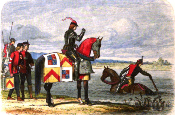
One famous mediaeval lord who experienced the turmoil of the Severn floods to his cost was Henry Stafford, 2nd Duke of Buckingham, who in 1483 turned traitor on his cousin King Richard III. Buckingham gathered an army on his lands in Wales and led it toward the Severn, intending to meet up with the invading, mostly French, forces of Henry Tudor. The Severn floods put a stop to the plot. The duke was brought to a halt on the Welsh side of the river, his army deserted him, and it wasn’t long before he was captured by Richard III, who wasn’t in the mood to listen to a turncoat’s whining excuses. Buckingham came to a deservedly sticky end in Salisbury and the invasion failed, with Tudor scuttling back to France. He wasn’t the bravest of men.
You can read about Buckingham’s encounter with the Severn here: Just WHY did Buckingham think he could cross the flooded Severn….? – murreyandblue. And should you fancy Buckingham’s adventure with a touch of irony, you may like this link: https://somehistoryrewritten.wordpress.com/2014/06/07/row-row-row-your-boat/comment-page-1/#comment-55
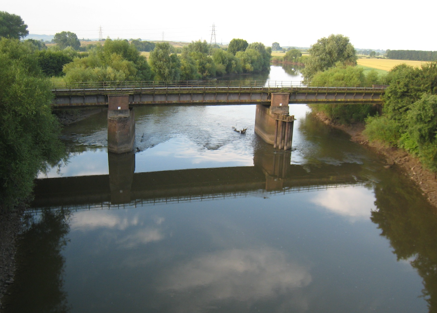
Anyway, back to the lost bridge at Over. Here are David Jones’s photographs:
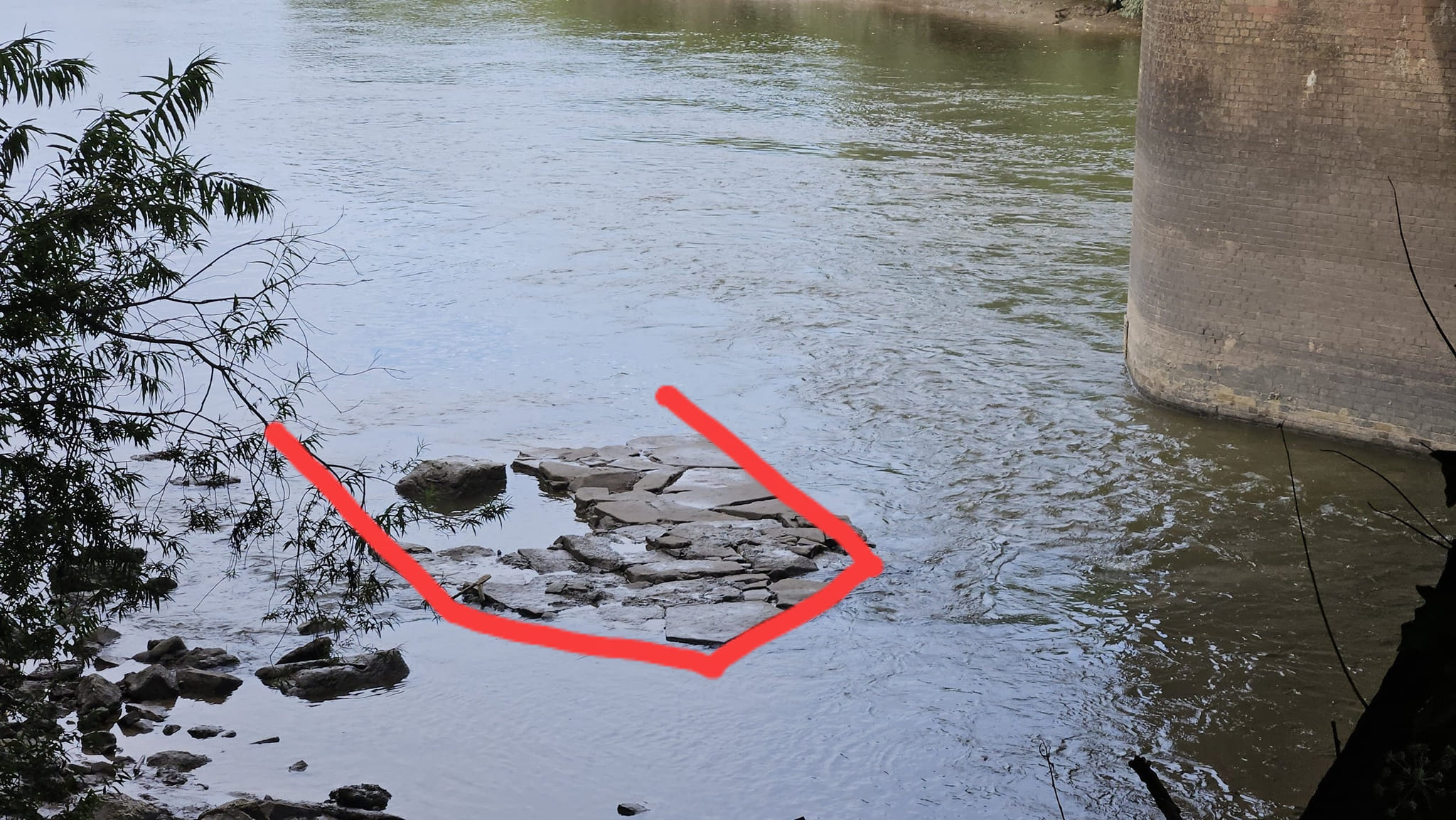
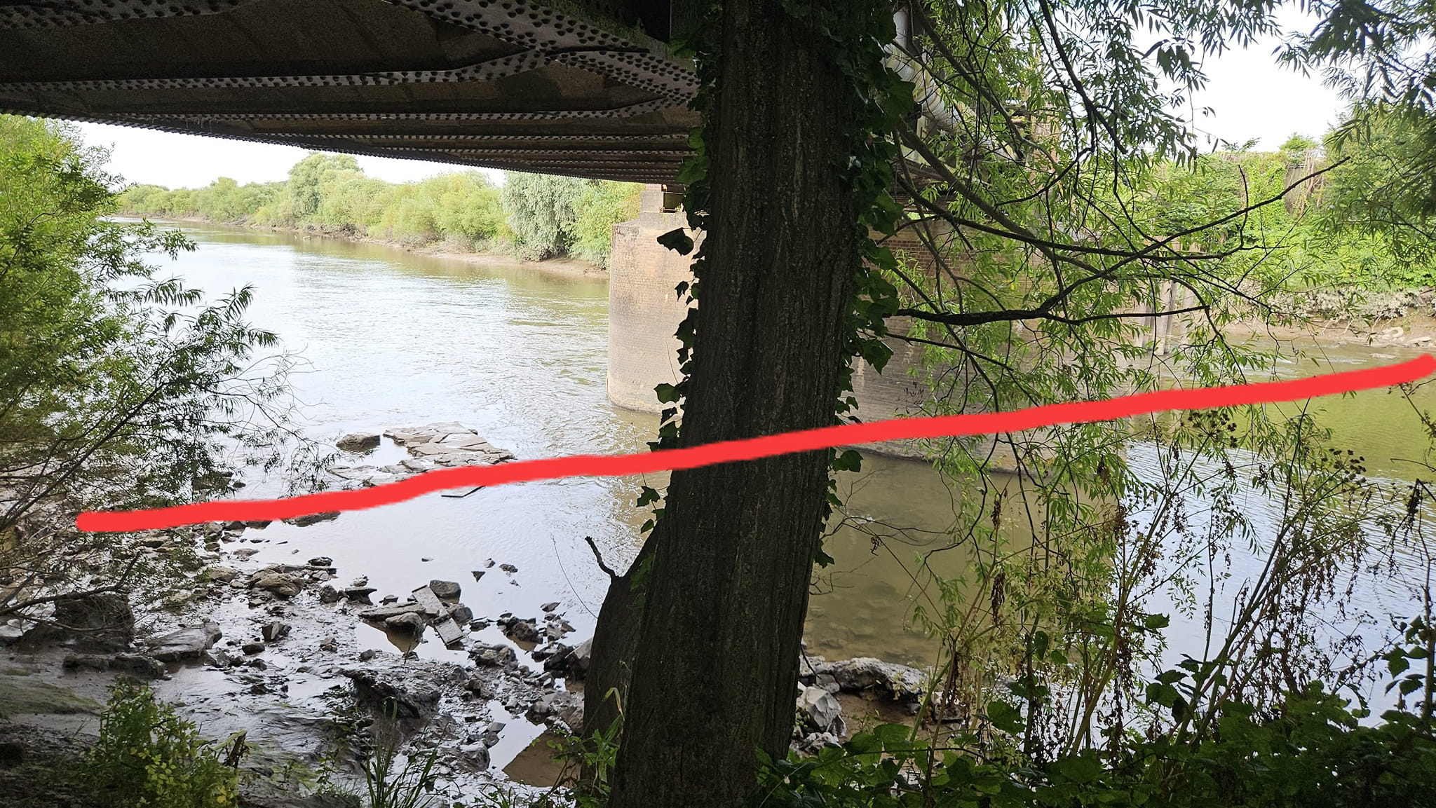
It’s hard to imagine how, with such a tumultuous river, the remains of such an old bridge can still survive. The one in the first of the three photographs seems so fragile. But then the stumps of ancient trees survive along seashores, to be revealed again when the tides are particularly low. Just imagine the violent storms they’ve withstood over the many centuries since they flourished on dry land. I have to wonder if, in the building of the railway, more valuable evidence of the mediaeval bridge was destroyed, and I fear the answer has to be a resounding yes.
There is a lot already known—and still to be learned—about the development of Gloucester and the Severn channels and bridges, too much for me to delve into here. But the reappearance of the remains of the ancient bridge at Over is important, and again I thank David Jones for allowing me to use his photographs.
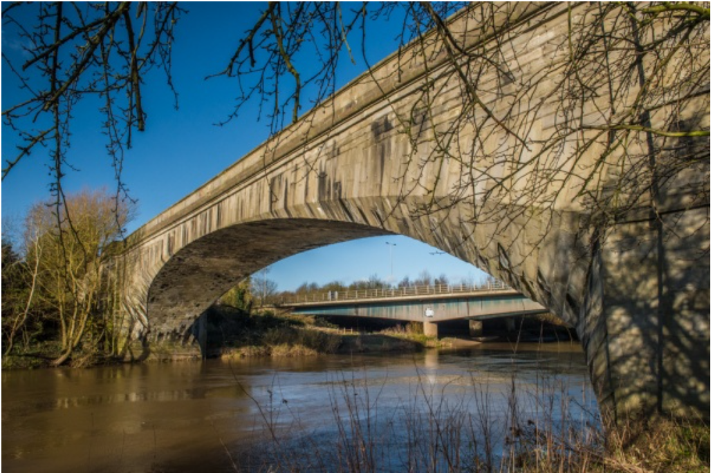
PS: There is, of course, another bridge at Over, the famous one by Thomas Telford (from which the third of David’s photographs was taken in 2014). It is the oldest large-span masonry bridge in England and it still stands proud, if isolated. See Over Bridge, Gloucester, History & Photos (britainexpress.com)
It too has been superseded by a more modern replacement because (despite suspension bridges and second crossings) Gloucester remains a very important crossing point over one of Britain’s most treacherous rivers.

Leave a comment