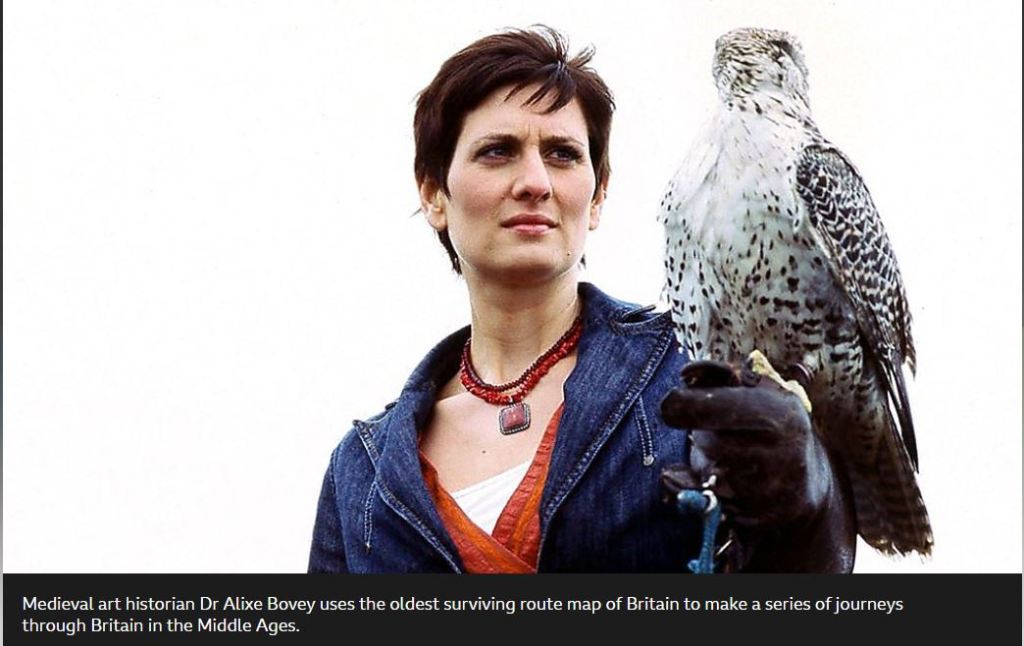
Last night I watched an episode of In Search of Medieval Britain presented by Dr Alixe Bovey. The series concerns journeys that follow the famous Gough Map of medieval Britain and is very interesting and enlightening. The episode I watched concerned ‘London and the South East’, and I learned a few things I didn’t know before. Including how to interpret that infuriating map, in which East is where we all expect to find North these days! But they wished to point toward Jerusalem.
I had no idea that rivers were all believed to start in lakes, hence the circular beginnings shown on the map. It seems very odd that no one, through the period, ever commented on never finding these lakes. Well, perhaps they did, I don’t really know.
The series is being shown at present (March 2020) on PBS America, and on this first example I can thoroughly recommend it. You can home in on the map online here.

Leave a reply to Have two lost islands been traced off the Welsh coast….? – murreyandblue Cancel reply