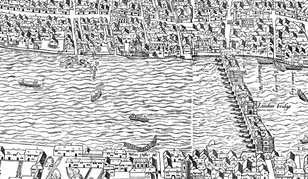
One great asset to those of us who are interested in the streets and lanes of medieval London, is the wonderful Agas map. And lo! It’s available online, and is very searchable and zoomable.
One great asset to those of us who are interested in the streets and lanes of medieval London, is the wonderful Agas map. And lo! It’s available online, and is very searchable and zoomable.
[…] site of the Priory and hospital of St Mary Spital – Agas Map c.1560-70. The main entrance would have been from Bishopsgate Street via the Great Gate. This […]
LikeLike
[…] Map of Early Modern London site, which I first recommended here, is brilliant, and I often resort to it. There are bound to be glitches here and there, but this is […]
LikeLike
[…] Huggin Lane with a St Michael’s church, this time north of Cheapside, off Wood Street. See Agas map […]
LikeLike
[…] from the Agas Map, showing in green the position of the Minories, north of the Tower and outside […]
LikeLike
[…] originally, but at least fourteen (see above). Three more feature in this extract from the later Agas map. From Aldgate the wall descends to close to bottom right, and the three bastions are clearly […]
LikeLike

Leave a reply to Happenstance? Or happens all the time….? – murreyandblue Cancel reply